Perhaps the recently-added barbed wire and fencing on
either side of the locked gate were advising us against taking this hike. However,
since the sign on the gate clearly indicated that hiking and biking were
allowed, we entered the Canaveral Marches Conservation Area by doing kind of a
limbo dance to squeeze through the gate where someone had cut the fencing loose.
The 4000-plus acre property is owned
by the St. Johns River Water Management District and was preserved as part of
the state agency's mission to protect the integrity of the St. Johns River
watershed. It is located south of Route 50, west of I-95, near
Titusville. In the past, the trailhead
for the preserve was inside the adjacent Great Outdoors RV/mobile home park
which some websites still list that trailhead.
But, for reasons unknown to us, that access is no longer available. Apparently, some trails that traversed
private property are no longer accessible.
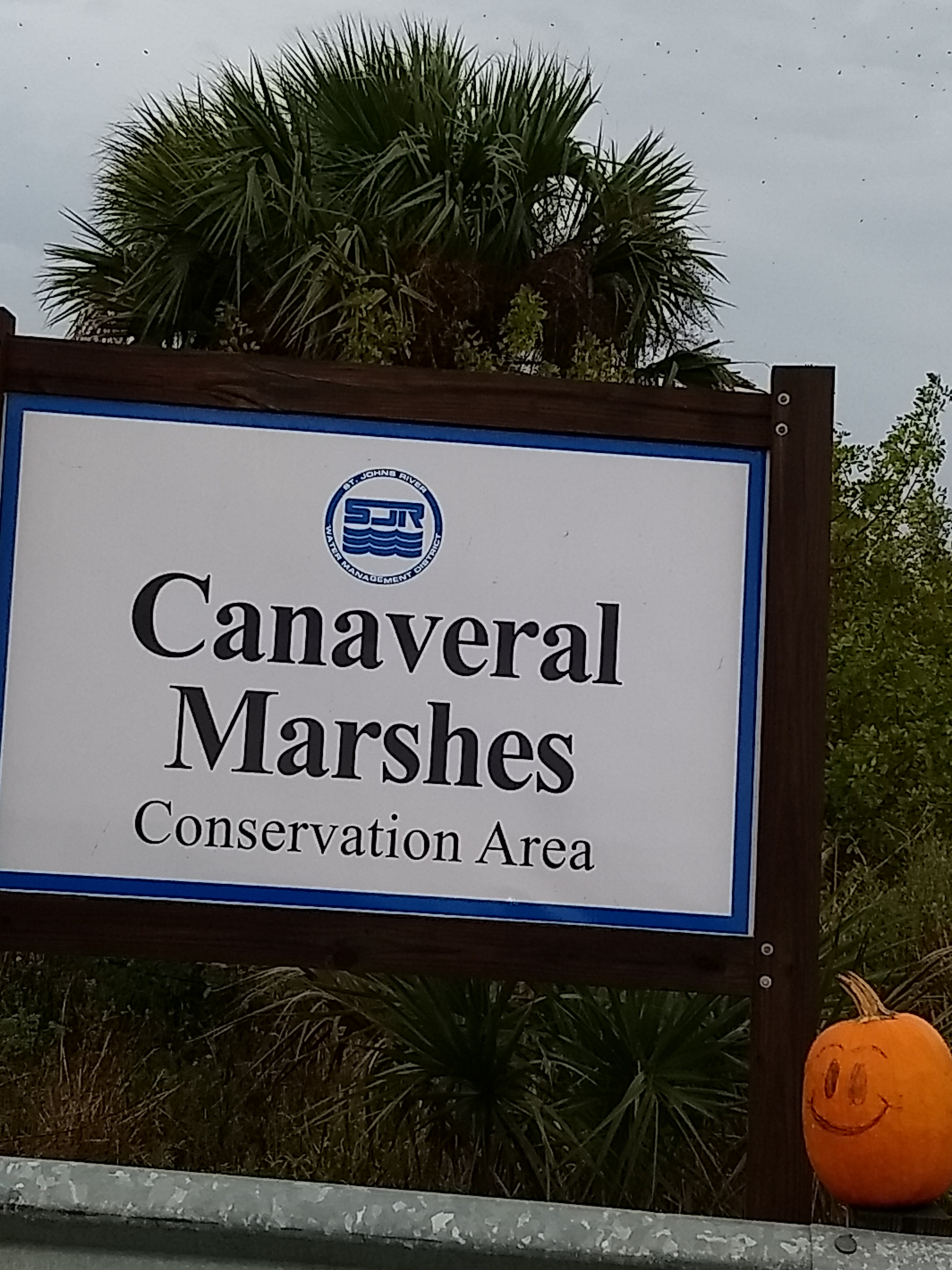
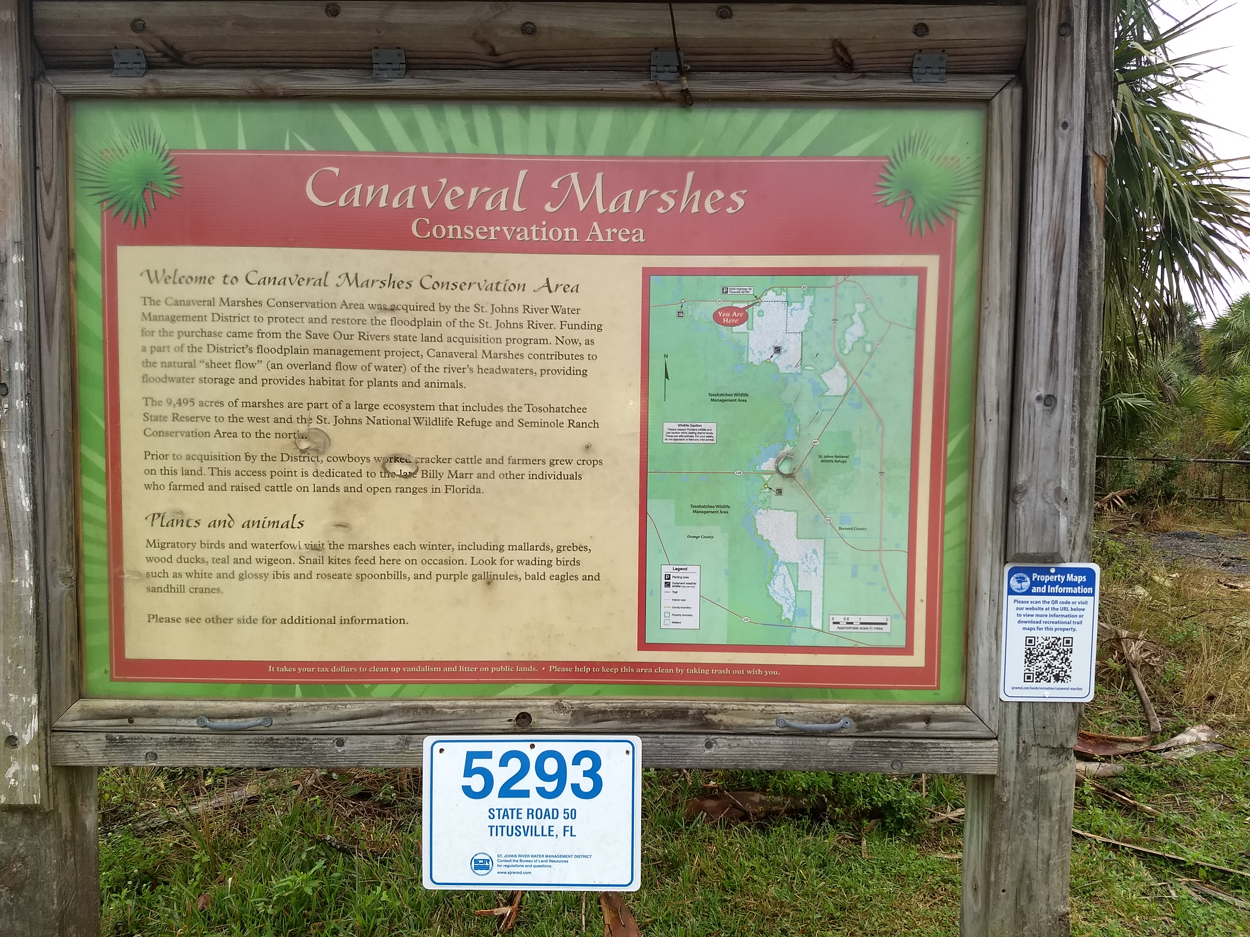
This was actually our second attempt to hike the Canaveral Marshes. On the first try, we relied on a trail report that stated the trailhead was directly across from a St. Johns River Water Management Preserve sign on the opposite side of the road. Across from that sign was a turnout area and a fence but no trailhead—it could be the trailhead used to be there, but was moved. Somehow, when driving further west, we missed the quite large Canaveral Marshes sign about a quarter-mile from where we had looked for the trailhead (we saw it on our way back from an alternate hike).
 |
 |
Canaveral Marshes roadside sign |
Canaveral Marshes trailhead |
Canaveral Marshes was the subject of a USA Today “10 Best” article in 2015 and reports by previous hikers describe an experience far different than the one we had.
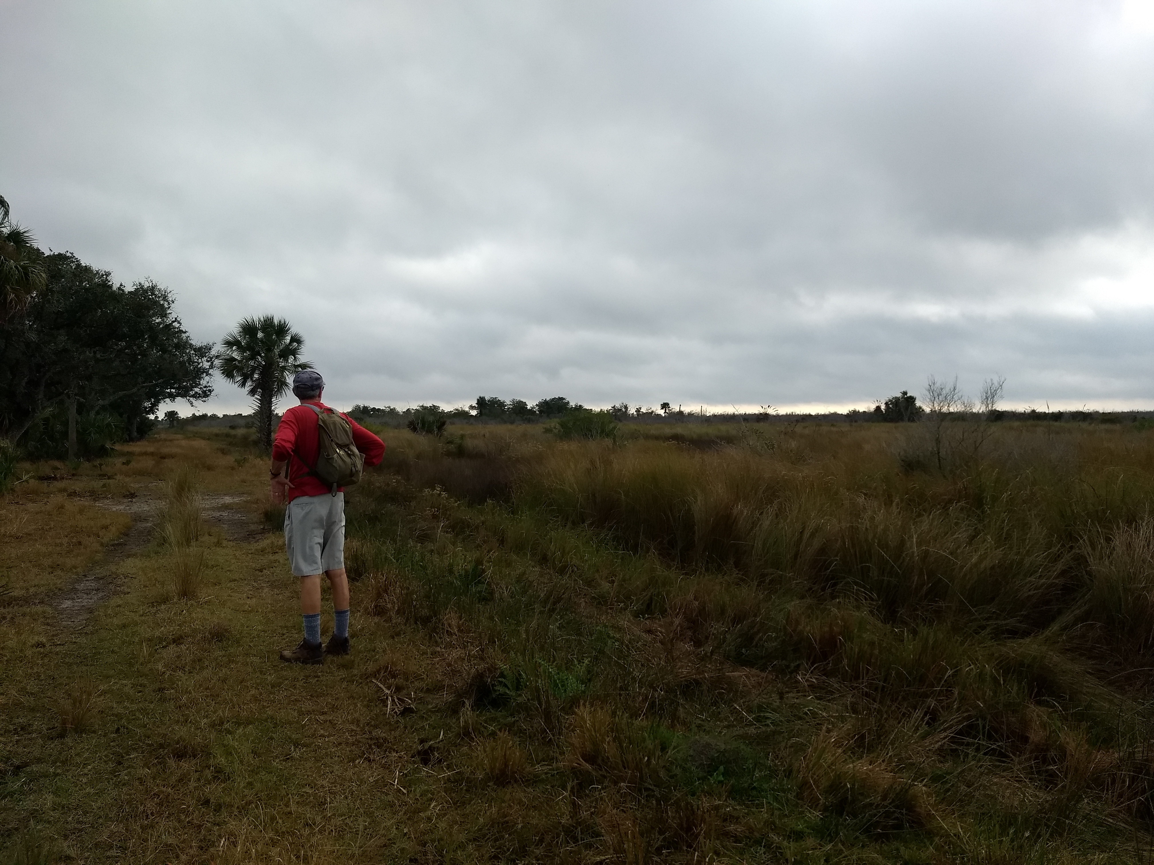 |
John looking out over the marshes at the start of the Canaveral Marshes trail |
Over the course of my brother John’s and my 5-mile-plus hike, I believe I counted 2,482,922 piles of poop, likely weighing over 19 tons. Normally, you would need to watch over an hour of cable news to see that much crap. I would assume the dung came from cattle, as there are adjacent ranches, although we never saw a cow during the hike.
A week or so later, when we took an
airboat ride from the Lone Cabbage Fish Camp, a guide told us that ranchers
often illegally move their cattle onto state lands so the cattle can feast on
publicly-owned grass rather than potentially expensive grass on the ranches. The guide implied the ranchers are allowed to
do this due to the provision of cash in plain envelopes to public officials,
but I can’t verify that is the case.
Anyway, most of the hike was spent
actively dodging these “land mines,” although they surprisingly emitted little or
no smell. As you might expect, there
were lots of insects flying around, but I wound up with fewer mosquito bites
than I anticipated.
In addition, Florida’s unusual, El Nino-influenced,
very wet winter resulted in lots of virtually impassable puddles and ad
hoc
streams on what would normally be high and dry dikes and roads. The
first of
these obstacles that we encountered was a 10-foot-wide stream of water
about a
mile into the hike. We were about to
turn back, but, since the water was likely less than a foot deep, I had
the
idea of throwing down enough sticks and branches to make a “bridge”
that would
allow us to cross the “stream.” The plan
worked, with our feet getting just a little wet.
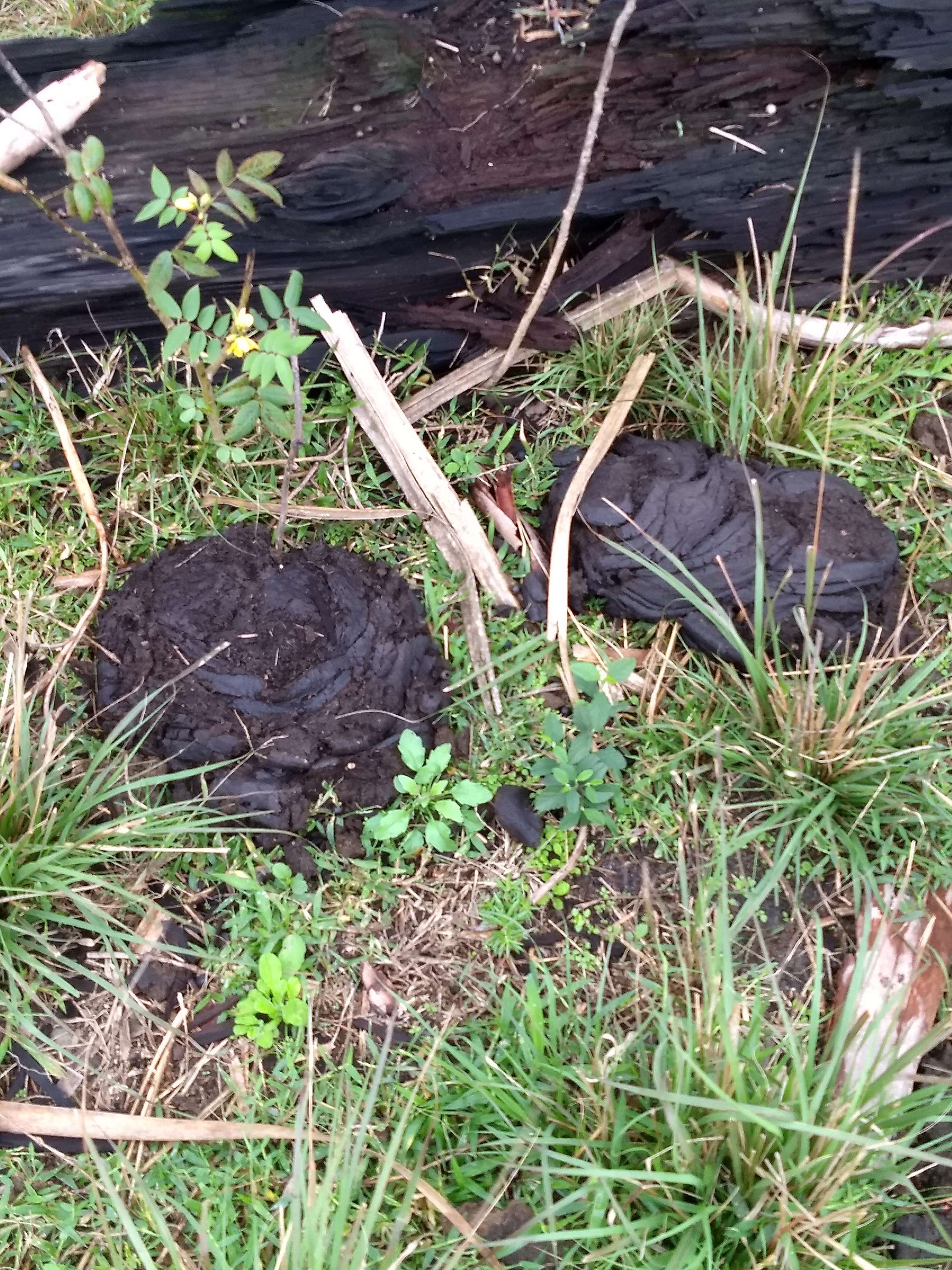
A couple of seemingly milions of
"land mines" on the trail
The next challenge was more
formidable—a giant “puddle” right in the middle of the road/trail that
was deep
and wide enough to be considered a pond.
For this one, John decided to try walking around the
hazard
on the thick tufts of marsh grasses that framed the path.
This also, surprisingly, worked pretty well
and we got by without encountering any snakes or gators.
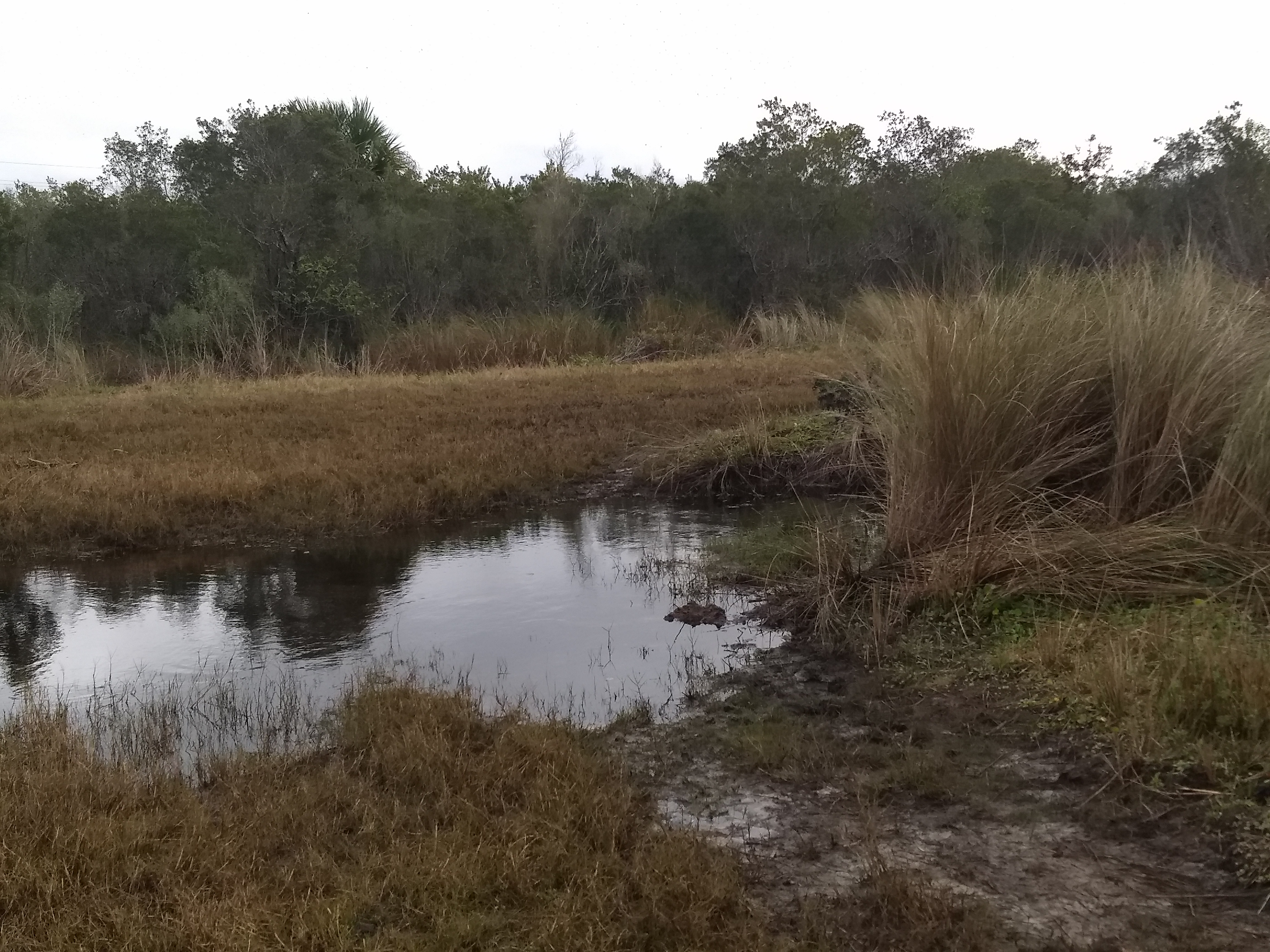
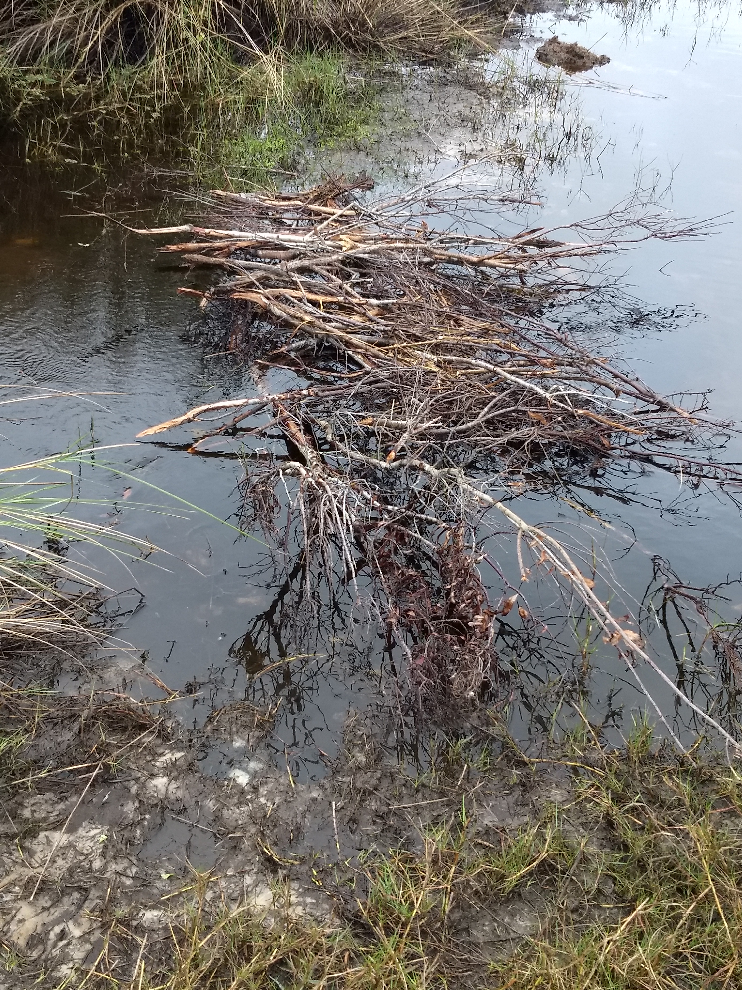
The first water obstacle we
encountered
Stick bridge we built to cross
the first stream
A ways further we ran into something
we were not ever going to be able to cross—the Addison Canal. The
Addison Canal
was begun in the early 1900s and was intended to facilitate agriculture
by
draining some marshland and providing water access to the Indian River
Lagoon. However, the coquina rock the
constructors encountered caused them to abandon the project before the
canal
achieved useful depth. While the canal
might not be very navigable, it was certainly sufficient to thwart
anyone like
us from trying to cross it on foot. We did
see some logs laid across the far side of the canal, but they were far
away
from where we could get to them (assuming we would have even attempted
to cross
on thin, slippery logs).
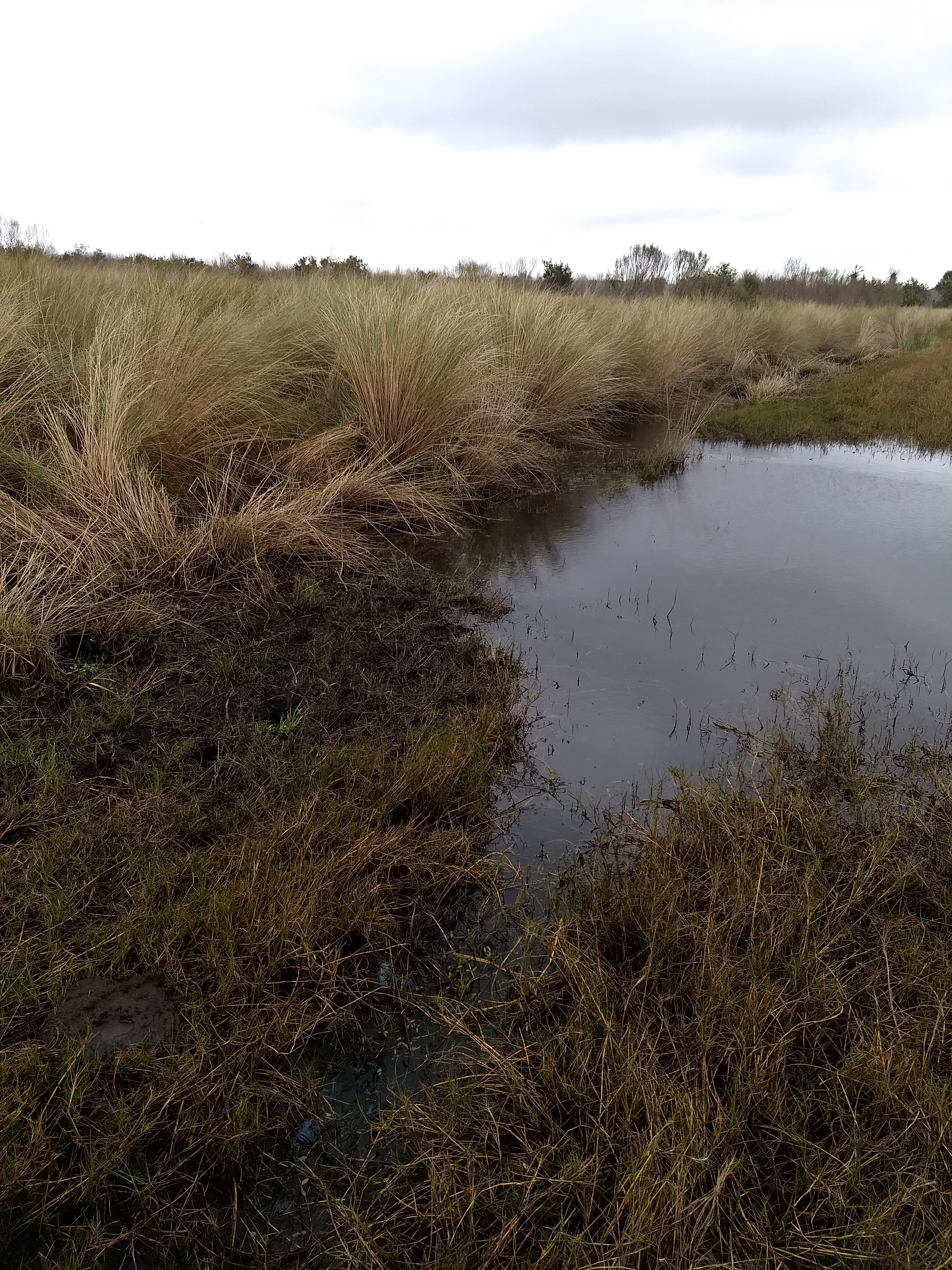
We got around this "puddle" by
walking on the marsh grasses (on the left)
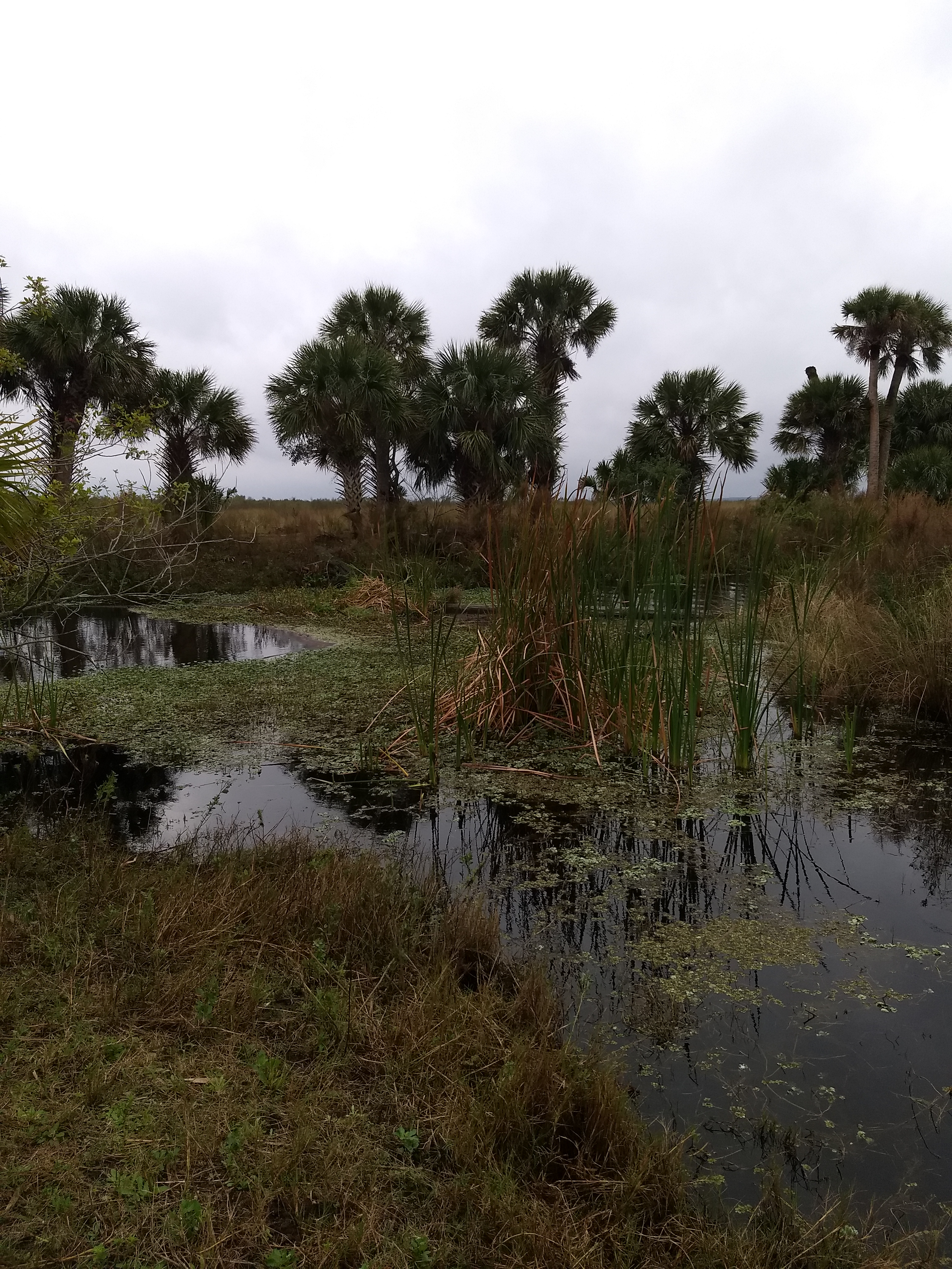
As we backtracked
from the canal, we
returned to a fork in the trail that we had passed earlier. We had rejected the alternate path since it
was, again, largely impassible. Having
come this far, and realizing that this stream was just a little wider
and
deeper than the last one, we again built a stick bridge and walked
across,
getting just a bit more wet on the way.
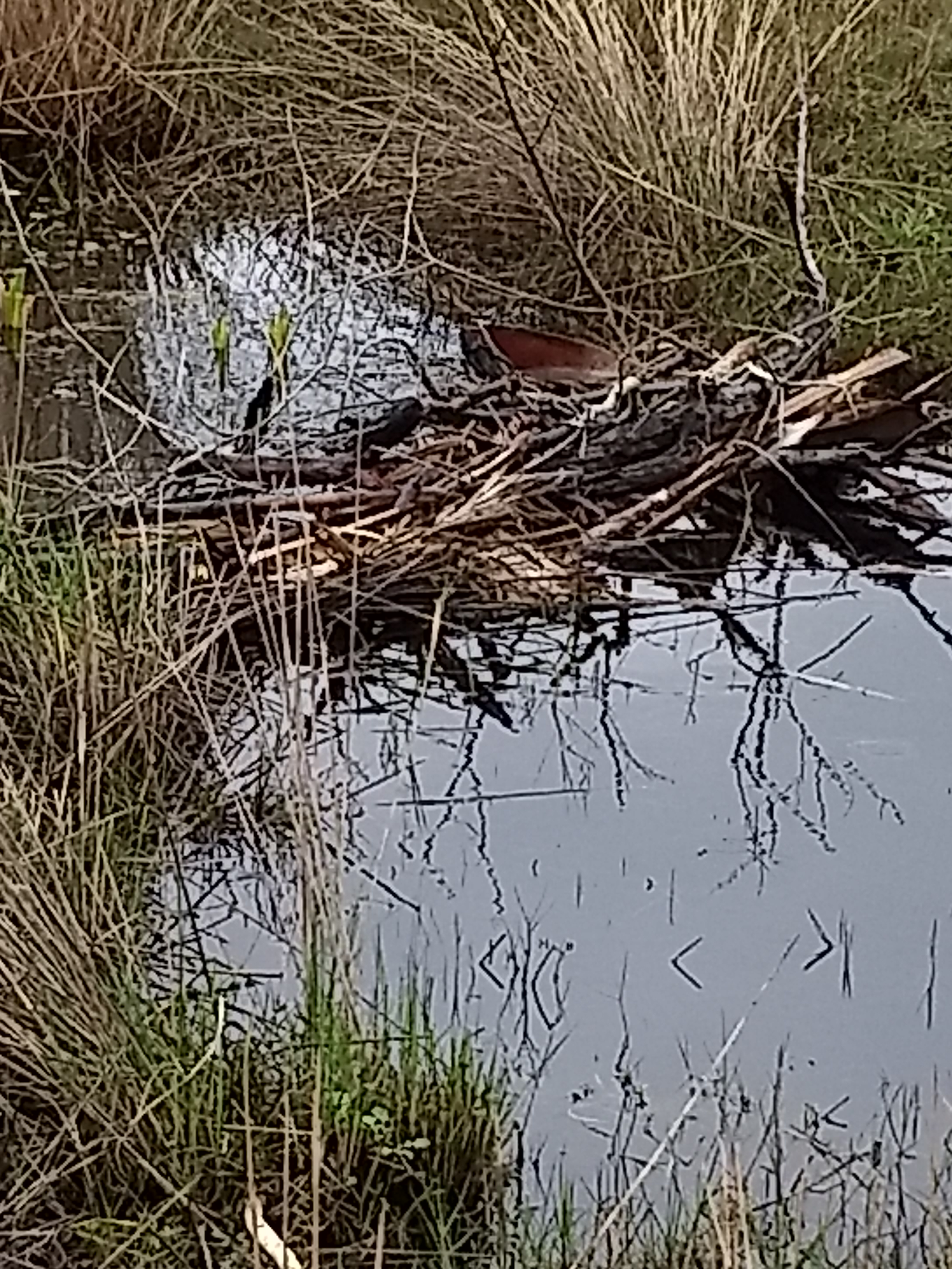
Our second stick bridge we built
so we could continue the hike
A short way further we came to the
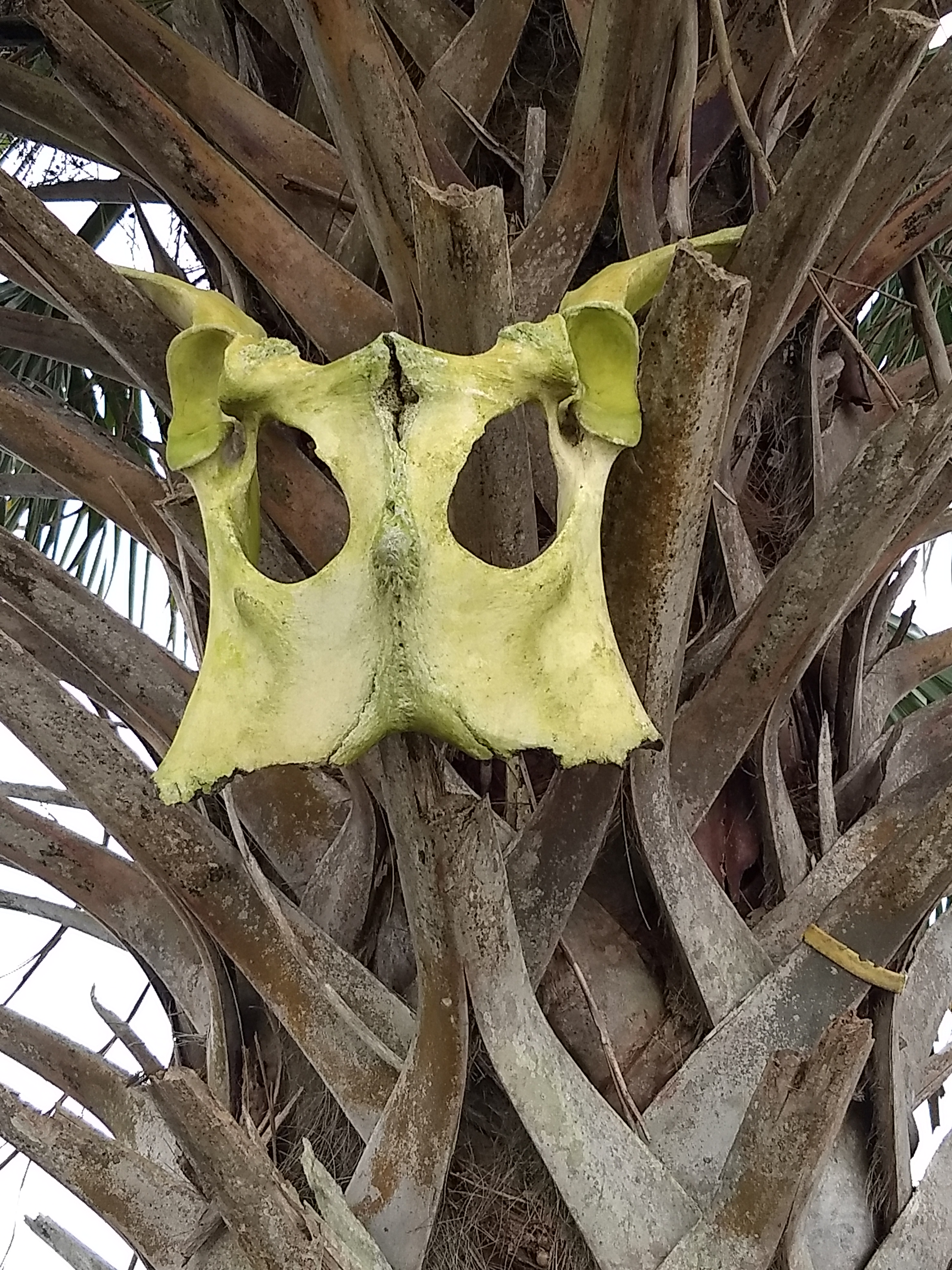
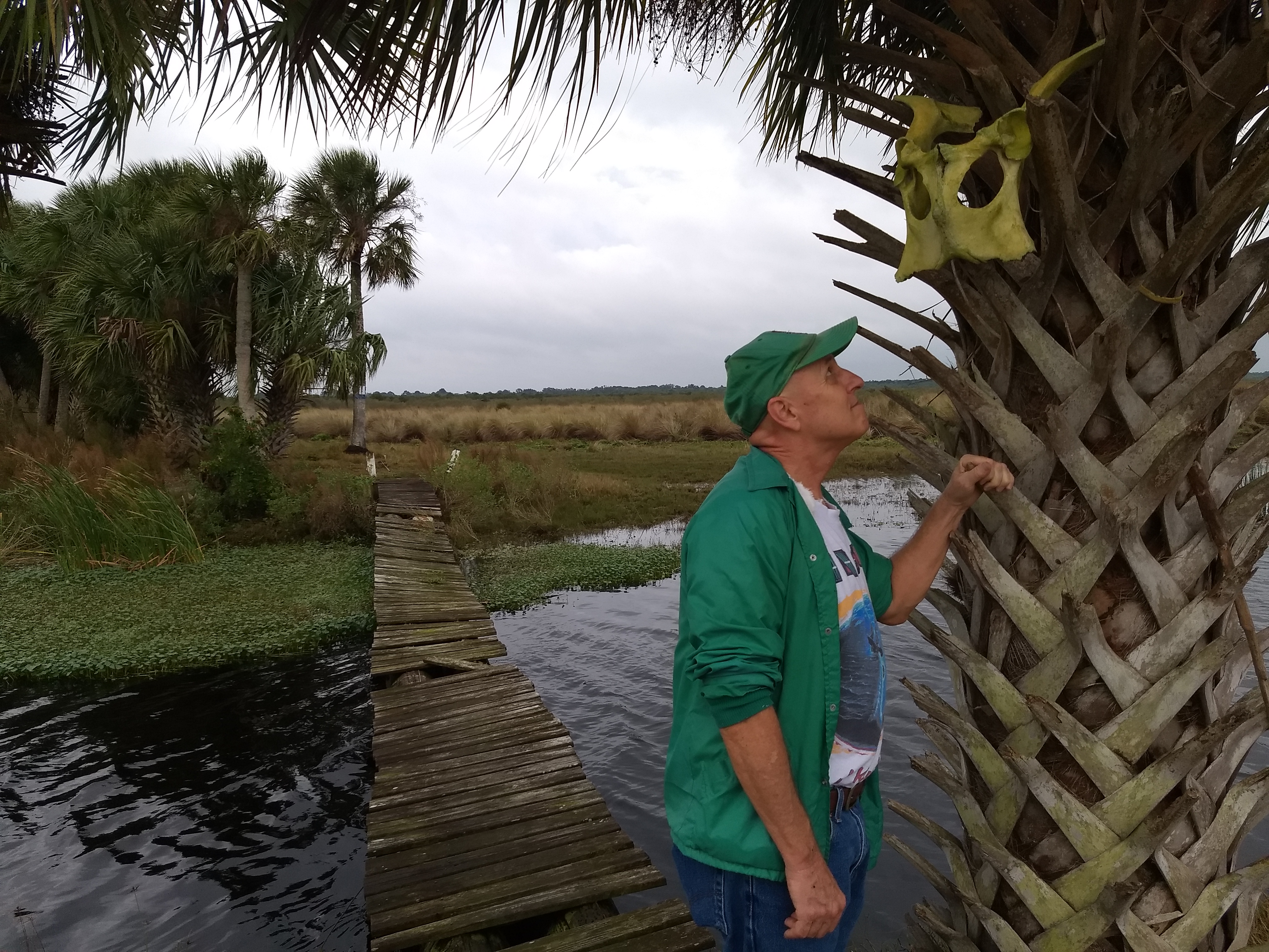
proper footbridge that crossed the Addison Canal. Stuck
to a palm tree at the start of the
bridge was one of those cattle skulls like you’d see in the desert
during old
western movies. Maybe it was meant to be
a warning not to cross the bridge or maybe someone found it and just
thought
it'd be cool to hang it there.
 |
 |
Cow skull by the bridge over the Addison Canal
|
Checking out the cow skull |
Beyond the bridge
we found a “real”
trail with actual blazes. This trail was
high and dry atop a dike along another stream that meandered beneath a
palm
hammock. Along the way, we encountered
potential evidence of hunting: remnants of a campfire and empty Coors
beer
cans—and a shotgun shell.
The trail passed a fence that
straddled the canal and had a barbed wire gate that had been opened. After about a mile, the blue trail dead-ended
at the Great Outdoors property, likely where the old trailhead had been. We could have gone a ways further along the
fence on the property line, but, since a light rain had started, we decided to
double back. The trees along the dike
largely protected us from the rain, but we had a long way to go back without any
overhead protection.

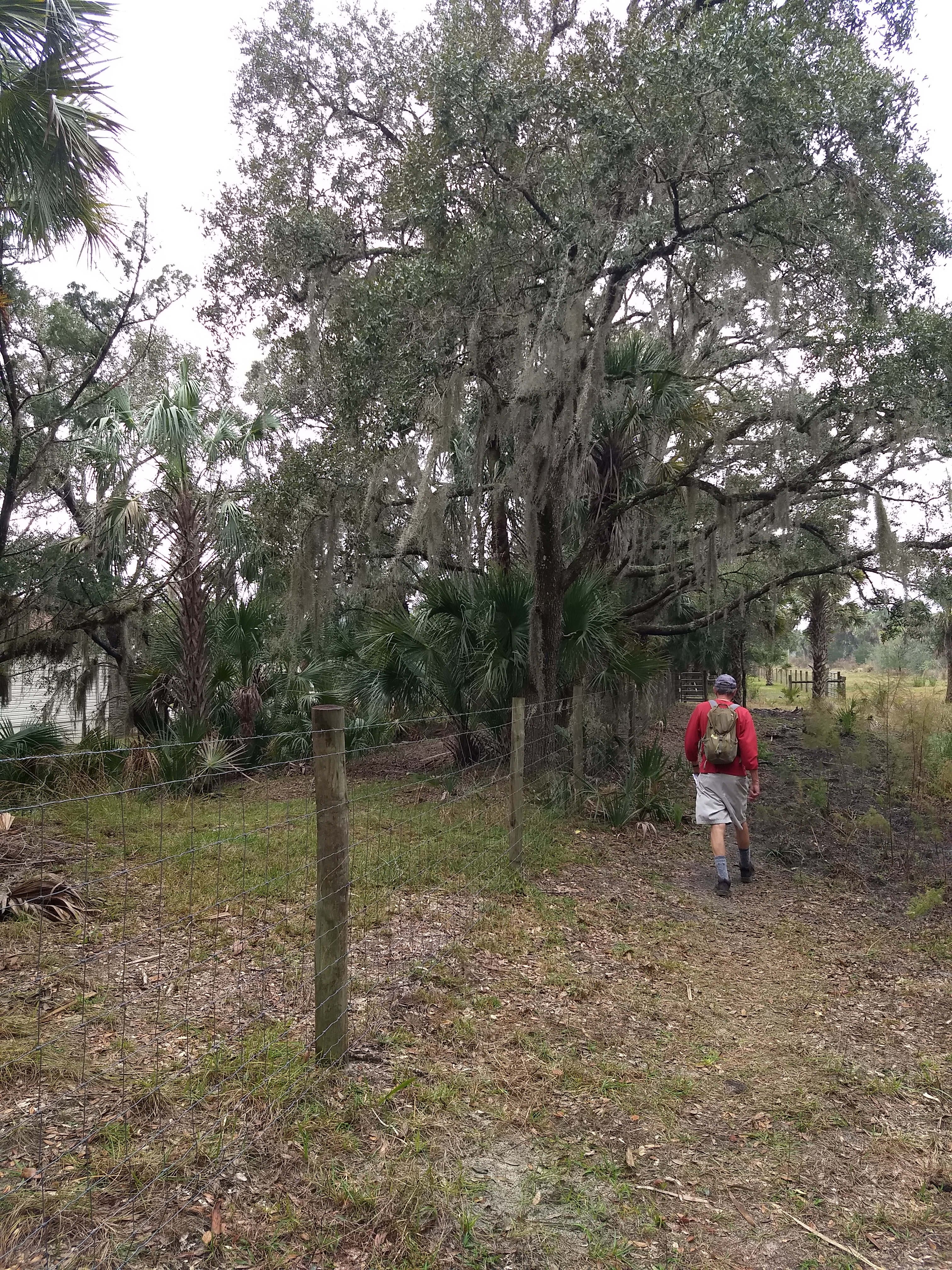
Gate along the "blue" trail on top of a dike
Trail ends at Great Outdoors RV/mobile home park (on the left) where the old trailhead had been located
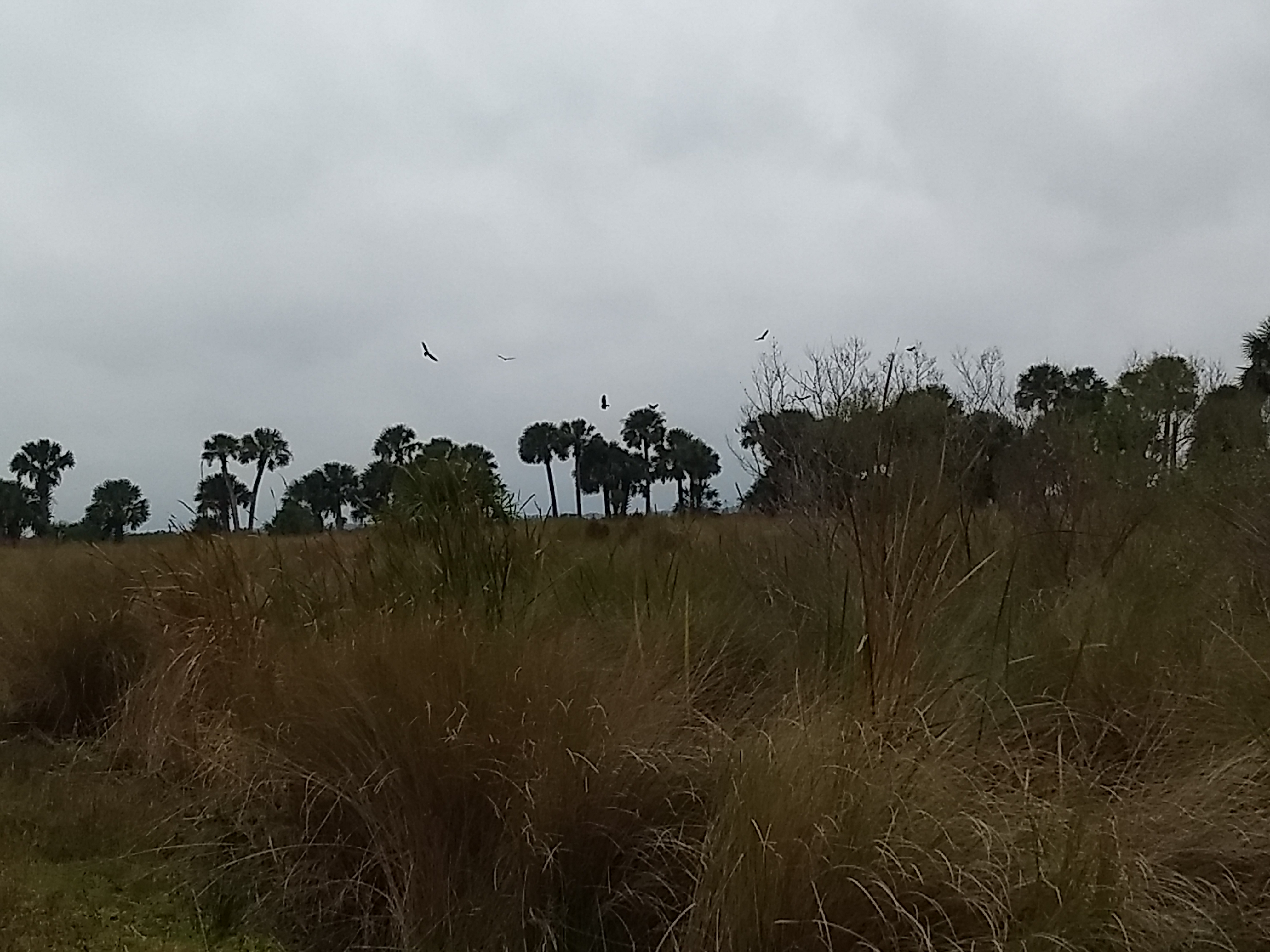
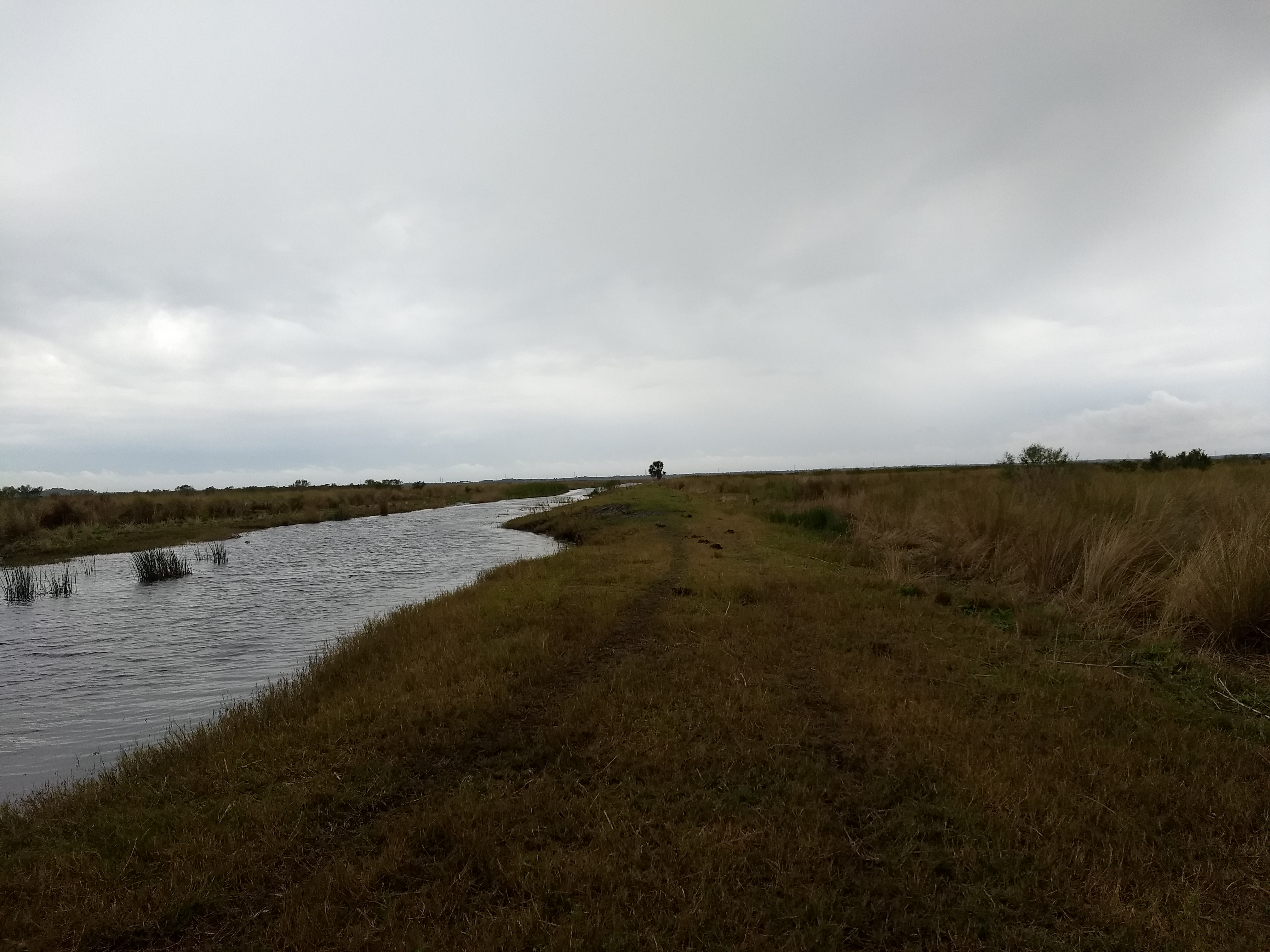
Trail along Addison Canal with an ominous sky. It soon became too wet to continue.
After briefly considering cutting back
through the Great Outdoors property and trekking back to Route 50, we resigned
ourselves to retreating the way we came.
So it was back to fording the streams on our stick bridges and trudging
through the marsh grasses while it rained off and on, eventually becoming
pretty heavy. Luckily for me, John had
packed a couple rain ponchos that kept us from getting totally soaked. I still got a little wet, however, when I had
a little slip on one of the stick bridges and went in water to my knees.
In the end, we made it back fine, wet and tired, but having had a cool adventure and a good workout with lots of challenges. We did see quite a few birds along the way but did not encounter any other wildlife—probably a good thing considering how much we were tromping through gator, snake and, apparently, cattle habitat.
 |
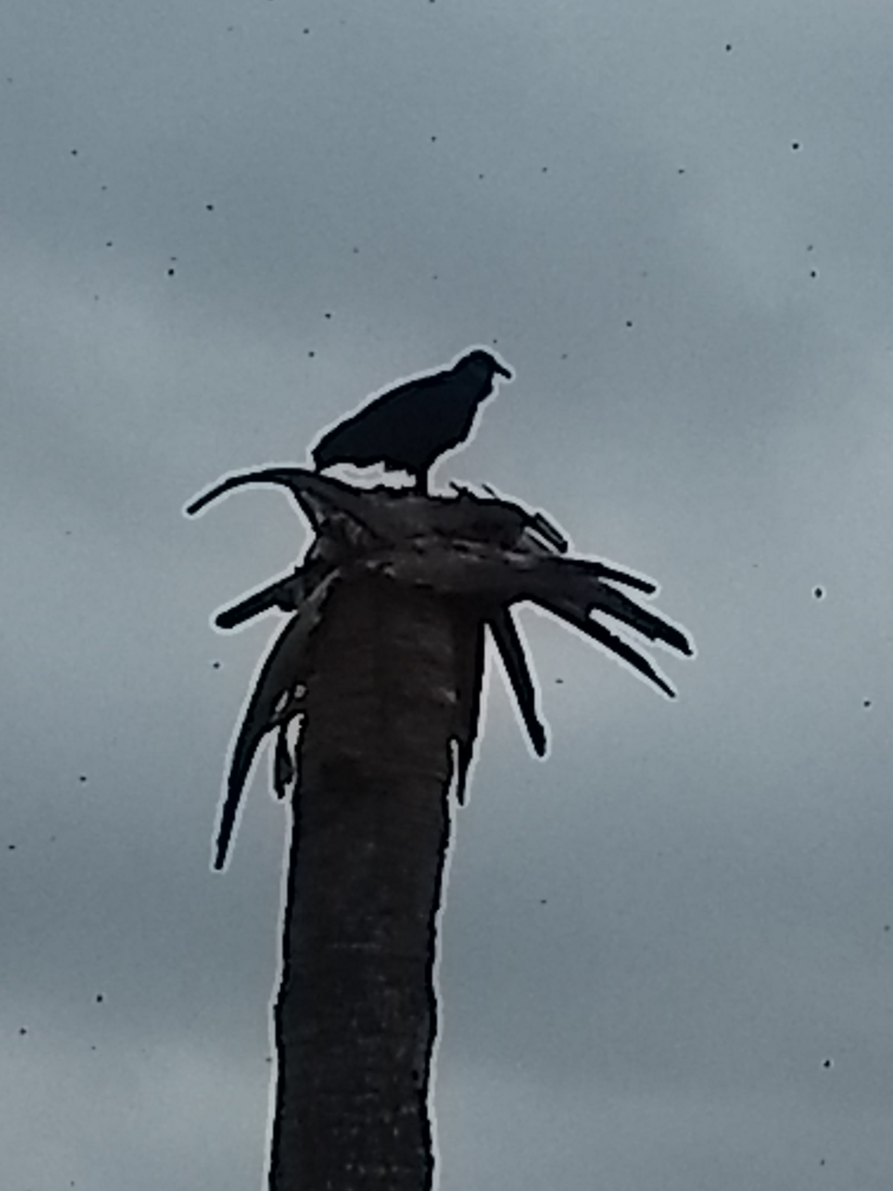 |
View across the marshes with birds circling |
Bird surveying the marshes |
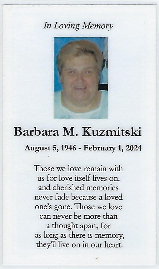
My godmother Barbara, who was also my cousin, was truly one
of the nicest, most generous human beings I have ever known. She was always giving me—and just about
everyone else—presents from her trips to Hawaii and other places. At family Christmas gatherings, she made
gifts for all the Aunts and Uncles with tags that said they were from “Santa,”
which everyone knew was actually “Santa Barbara.” When I was a teenager, she had even taken me
along with her and her friends on a trip to Florida.
She had cared for her mother, who had Alzheimer’s, for years in their home. That might have helped contribute to the many medical problems she had in her latter years, although, when you asked her, she would always say she was doing “good.” When she finally succumbed to kidney failure, I was definitely going to her funeral. That did mean my rescheduling an MRI but, as it turned out, that only delayed the process by a week.
This wound up being the first of many travel experiences I
would have this year. Because I didn’t
have a lot of lead time and had no flexibility in dates to travel, finding
reasonable flights was a challenge. My
cousin Richard, Barbara’s brother, kindly offered to let me stay with him and
his wife, Fran, at their home in Ipswich so I didn’t have to worry about
accommodations.
I wound up finding an inexpensive, one-way direct flight
from Orlando to the tiny Worcester airport on JetBlue on the day before the
funeral. For the trip back, I found a
significantly more expensive mid-morning JetBlue flight out of Boston’s Logan
airport for the day after the funeral which, coincidentally, was Valentine’s
Day. With Worcester being in the middle
of the state, Ipswich up on the North Shore and Boston kind of in the middle, I
knew I’d be doing some driving. Luckily,
I could rent a car in Worcester and drop it off at Logan without any ridiculous
drop-off charges, so the trip logistics were set.
I had a nice, uneventful flight and was happy to have only a
carry-on so I could beat everyone to the rental car counter while they
retrieved their bags. I did get to the
counter before everyone, only to find a sign that said “back soon” or something
at the Avis desk. I guess this is a
pitfall of flying into a small airport.
I waited somewhat patiently as all the other passengers from my flight
got their bags, picked up their rental car keys and were on their way. All I was going to do that afternoon was
drive to my cousin’s, so I wasn’t pressed for time. Still, after maybe 20 minutes or more of
waiting, I was getting annoyed and walked up to the desk of another rental
company to ask if they had any cars I could rent. Just then, a person appeared at the Avis desk
from the back room. As a final insult,
by the time I walked back to the Avis desk, a couple people had gotten in line
ahead of me, so I waited a little longer.
When I got my car, I found it to be a red Cougar, which I
guess was an upgrade from the compact I had rented--Fran would call it a
“mid-life crisis car.” After I started
it, I found the heated seats were on.
Maybe this would be nice on a frosty morning, but it was a sunny
afternoon and I felt like my butt was getting scorched. I was in the rental car parking lot at least
15 minutes trying to figure out how to shut off the damn seats from the touch
screen control panel. Eventually, I
figured it out, along with how to turn the radio on, and was on my way.
The forecast for the day of the funeral was for cold and
snow, but when I arrived in Worcester in the early afternoon, it was a nice,
sunny, albeit brisk day. Despite my
delays, I figured I still had quite a bit of time and I figured I’d take some
detours to drive by some places from my time in Massachusetts to reminisce a
bit. I had told Richard I’d be at his
place between 4 and 5, meaning I had a couple hours or so.
The first obstacle was actually getting out of
Worcester. As it turns out, the airport
is kind of away from everything and not that close to the major highways. The Google directions seemed to be taking me
down back streets and there was traffic everywhere.
After getting out of Worcester and on the highway, I made my
next tactical mistake when I tried to swing by my old college, the University
of Lowell (now U Mass-Lowell). I picked
a route to get there based on my memory which was a very bad decision. I wound up stuck in absolutely horrendous
traffic in downtown Lowell for what seemed like hours.
Eventually, I abandoned the mission of visiting my alma
mater and, when I was able to escape the city, just headed for my second stop
which was my parents’ grave. After
spending a little time there, and at the nearby graves of my aunts and uncles,
I was on my way again. At some point, I
believe I texted or called my cousin to let him know I was running later than I
thought and he responded the only plans were for dinner at 6, so I should still
make that, I thought.
After a quick drive through my childhood neighborhood in
Pleasant Valley in Methuen, I was headed towards Ipswich. Here, I again was
relying on my memory for directions and proceeded to miss my exit and, yet
again, wound up in miserable traffic, this time in North Andover.
When I finally got to Ipswich, the sun had long since set
and I was fumbling around trying to follow my directions to Richard and Fran’s
house. Knowing I was close, I pulled
into a parking lot to call Richard for guidance in getting to his house. With his help, I finally arrived after a
journey that should have taken less than 2 hours but took needlessly me about 4
hours due to my poor navigation skills.
After my belated arrival at the house, we all went out for a
great seafood dinner at The Boathouse restaurant. After dinner, we relaxed back at the house
with some wine and talked about Barbara, the family, health issues, current
events and probably lots more. The
circumstances of the visit were not happy, but it felt great to be connecting
with family.
Over a foot of snow had been forecast for the day of the funeral but, while some snow fell, it was far less than predicted. I rode to the funeral with Richard and Fran, which was a very smart move based on my driving escapades the day before.
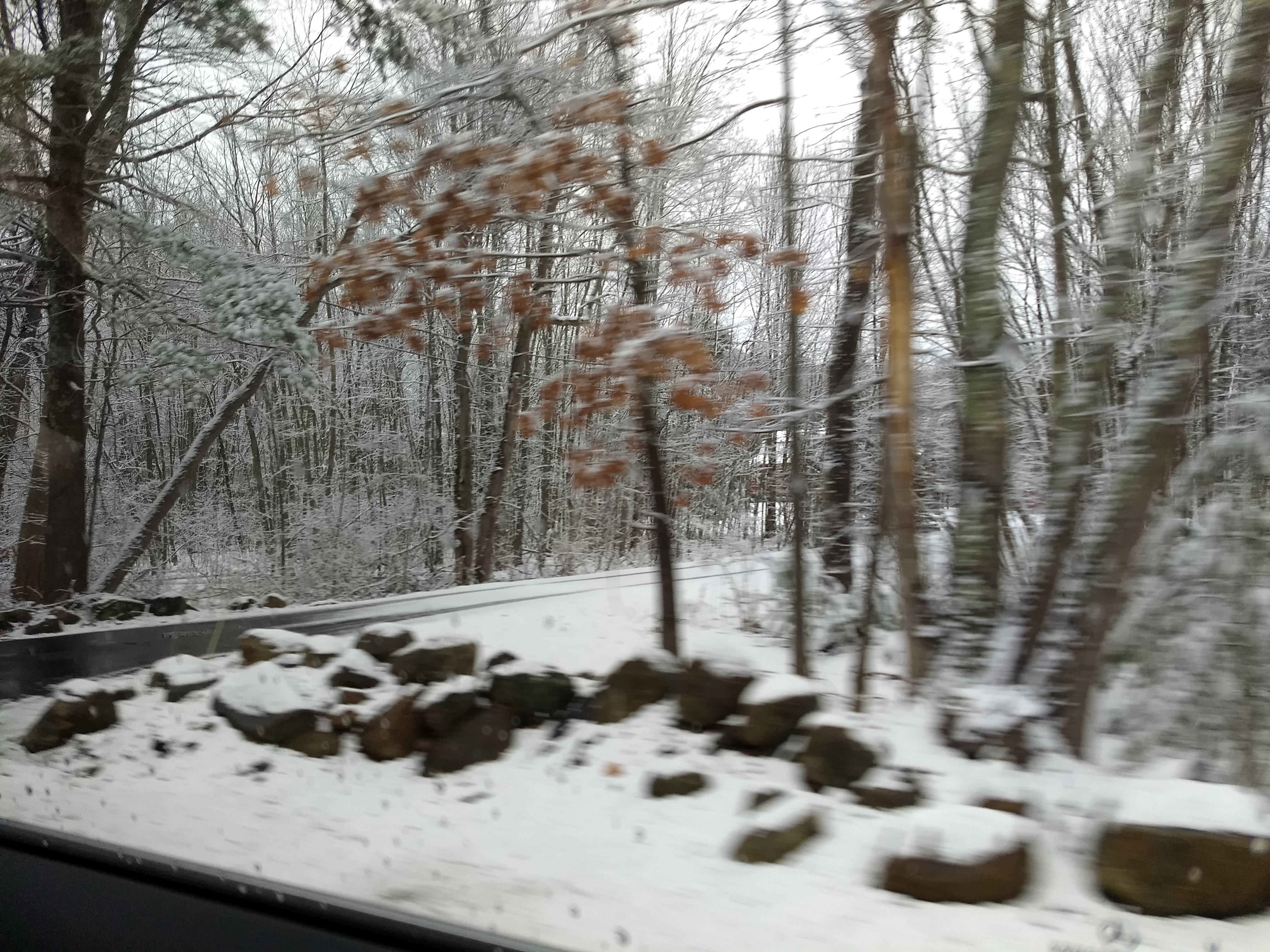
We arrived at the funeral home before anyone else. Seeing Barbara lying in the coffin brought the
reality of the situation to light. I
thought about the large family Thanksgiving dinners that were, for years,
hosted by Barbara and her parents, my Uncle Clarkie and Auntie Ann. Those times were long gone, but now also gone
were the opportunities to see Barbara on my visits to New England, as I had done the
previous fall when she was able to come out to lunch. I believe the last time I talked to her was a phone call is November or December when she talked to me and Pat about
things including kidney disease, from which Pat also suffers.
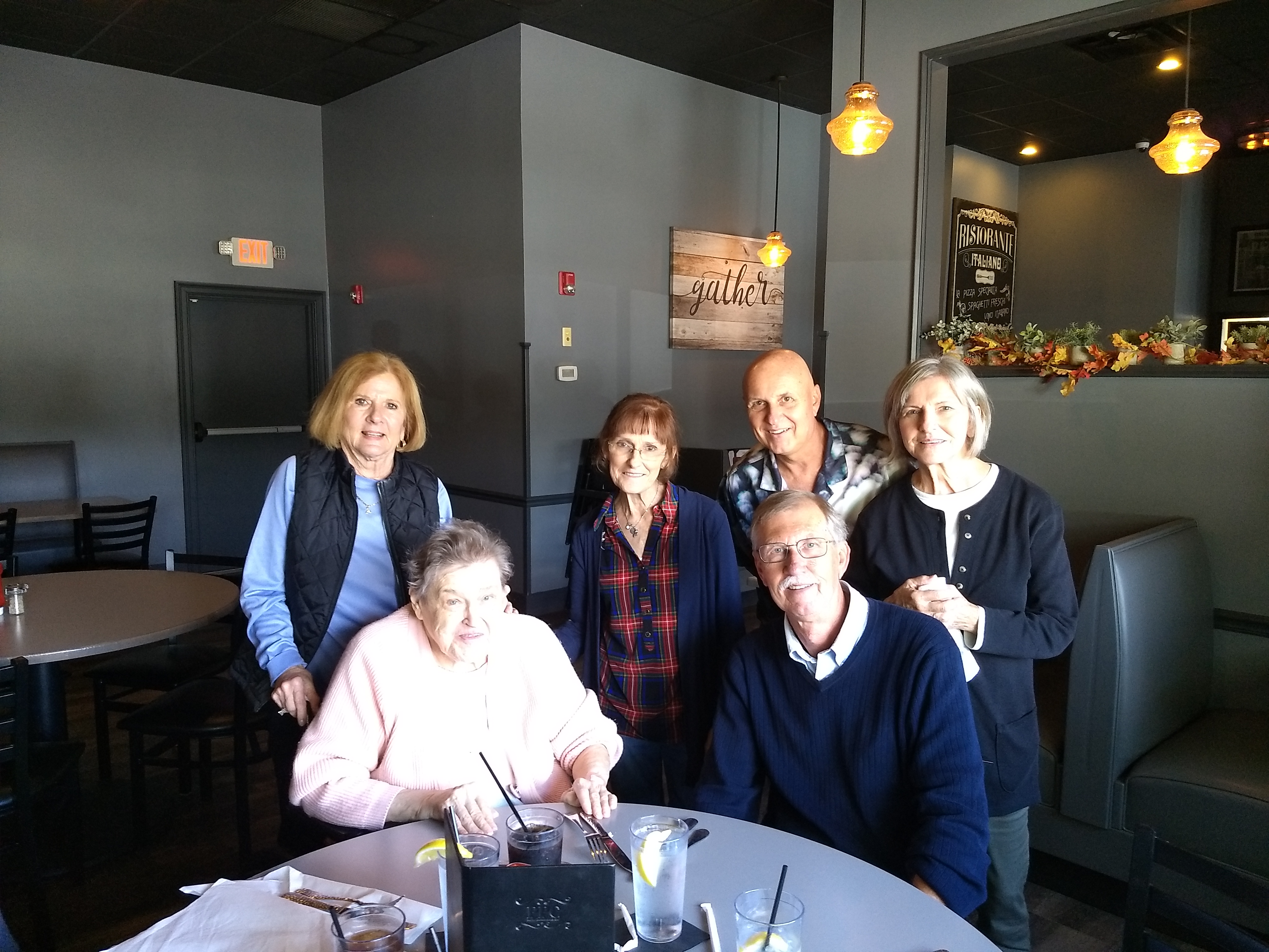
Likely due to the snow, attendance at the funeral was not
what it would have been if the day had been sunny. Still, a lot of my cousins and second
cousins, some of whom I hadn’t seen in years were there. My cousin Teri, who is from my father’s side
of the family and has battled serious medical issues of her own, braved the
snow to show up. Again, despite the
circumstances, it was very comforting to talk to so many family members.
Richard asked me to be a pall bearer and I was honored to do
so. After the wake, the priest said a
few words. He suggested the attendance-limiting
snow might have been Barbara’s doing, as she was never one who wanted to have attention
drawn to her and didn’t want people worrying about her. After that, we brought Barbara to the hearse
and proceeded to the cemetery. It was
quite cold and still snowing a bit and I was wearing my warmest Florida
outerwear, which was a hoodie. It was
cold, but I was happy to be there and be able to say goodbye to Barbara.
After the funeral was the “mercy meal,” up the road at Atkinson Country Club. Being there brought memories of my cousin Joyce and her husband Mike with whom I had eaten breakfasts in the dining room there when I was up visiting my father. Joyce and I both had Celiac disease and the Country Club was accommodating of those requiring gluten-free meals. I was lucky that my Celiac diagnosis occurred before it did any irreversible damage. Joyce was not as fortunate and her Celiac likely contributed to her cancer to which she ultimately succumbed. Mike also passed a few years later.

At the mercy meal, I sat at a table with my cousin Steve and
his wife Deana and my cousin Scott and his wife Janice. Again, it was great to connect with family,
despite the reason we were together.
Amidst reminiscences about old times, health issue
discussions and anything else, we talked about how I was deciding where and how
to get my prostate cancer treatment and my upcoming appointments at Dana
Farber. It felt good to talk about these
things with people I’ve known and loved all my life. We talked about all the aunts, uncles, and cousins
we had lost to cancer. They also spoke
about what a great facility Dana Farber was.
After the funeral was another opportunity to spend time with
Richard and Fran. I felt like steak that
night and they recommended The Choate in downtown Ipswich, where I had some
great steak tips. This was another place
that reminded me of Barbara, as we had eaten and gotten take-out from there a
few times.
My attempt to pick up the check was thwarted when I found
the restaurant didn’t take credit cards and I seldom carry much cash. Good thing Richard and Fran were there or I
might have been forced to wash dishes or something.
I turned in pretty early that night, since I had to get up
early for my flight. It didn’t leave
until 10 a.m. and it was about an hour drive to the airport (without traffic)
but, given Boston traffic and my penchant for getting lost, I wanted to get on
the road by 6:30.
The morning I was leaving was cold and with a lot of wind
coming off the nearby ocean. Richard was
nice enough to make me a cup of tea and put it in a to-go cup for my
drive. Unfortunately, when I set the cup
down to put my bag in the car, the wind blew the cup away and down the
road. I did manage to catch up to the
cup and at least avoid littering my cousin’s neighborhood, but I lost about 90%
of my tea. The drive in was not off to a
good start.
As I approached Boston on Route 1, I figured I better fill
up the car with gas while gas stations were easily accessible. After pulling
into the pump, I realized there was no gas cap release lever that I could
find. Not wanting to hold up the line
while I fumbled around trying to access the gas tank, I pulled away and from
the pump and into an adjacent parking lot.
When consulting the owners’ manual failed to provide an answer on how to
access the gas tank, I Googled it on my phone.
Turns out, there’s no locking mechanism at all: you just push on the gas
tank cover door and it pops open. I
looked around to see if anyone could see my latest bout of stupidity.
With gas in the car, I vowed to diligently follow Google’s
directions to guide me to the airport—even when it instructed me to bypass the
exit that clearly had that little airport symbol on it. From there, Google took me on a journey
through Boston back roads where I still got stuck in traffic many times. Despite the fact that it seemed I was being
routed in circles a few times, Ms. Google’s voice assured me that I was “on the
best route.” Eventually, I got close
enough to the airport where I recognized the roads I need to take to get
there—without Google’s help. Despite my
tribulations, I arrived at the airport on time and got back to Florida without
issue. Leaving early was finally a good
driving decision I made.